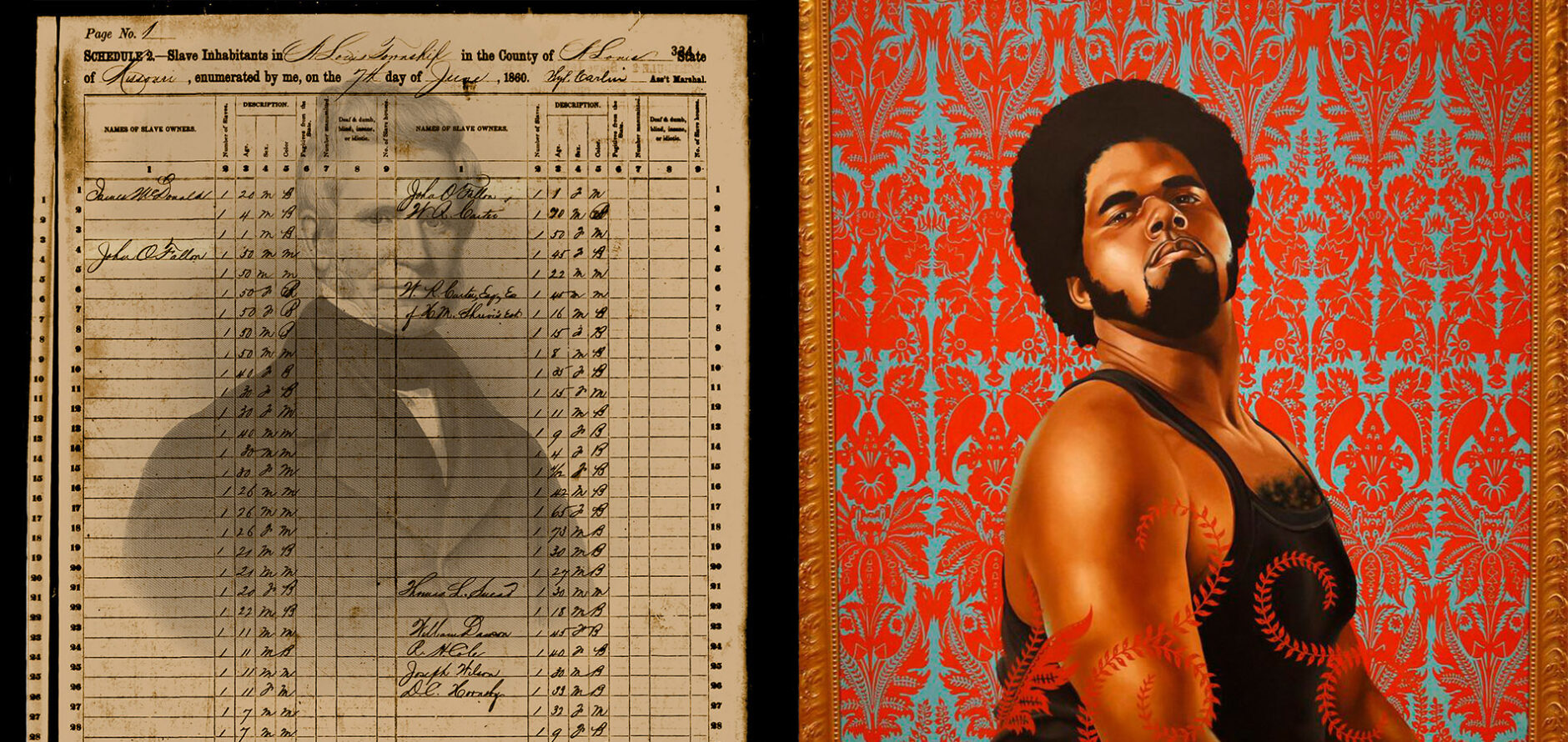
(Re)Construction Workshop
The (Re)Construction Workshop is an open session that offers attendees a chance to interact directly with selected artworks from the...
The (Re)Construction Workshop is an open session that offers attendees a chance to interact directly with selected artworks from the...

This training workshop for the Responsible Conduct of Research (RCR) is offered by Data Services in partnership with the Office...
Professor Shantel Blakely will discuss the use of photogrammetry in the study and teaching of architecture.
This session will focus on the planning and execution of aerial field studies using drone-based imagery, multispectral, and LiDAR sensors....
This session will cover the process for creating 3D models from photography.

This workshop will give a general overview of OpenRefine along with focusing on useful tasks such as faceting, clustering, and...

Jennifer Moore, head of data services, will lead participants through creating a map with QGIS.
GIS programmer, Mollie Webb, will lead attendees through making a basic map using Leaflet.
This workshop will go over selected open source GIS tools and examine the pros and cons of using these tools.
Bill Winston, GIS analyst, will lead participants through a presentation and workshop around geodesy.

This training will present Responsible Conduct of Research (RCR) throughout the research data lifecycle via the lens of data management...
WashU Libraries are committed to making our spaces, collections, services, and events accessible.