
CANCELED: Introduction to Remote Sensing
Imagery from drones, satellites, or planes can be used to identify and classify features such as buildings, landforms, or land...
Imagery from drones, satellites, or planes can be used to identify and classify features such as buildings, landforms, or land...

The International Writers Series presents a poetry reading by two PhD students in the International Writers Series celebrating their recent...
WashU Libraries is thrilled to welcome back alumnus Ryan Rhee (BA ’20), IT/GIS Manager for the Boone County Fire Protection...
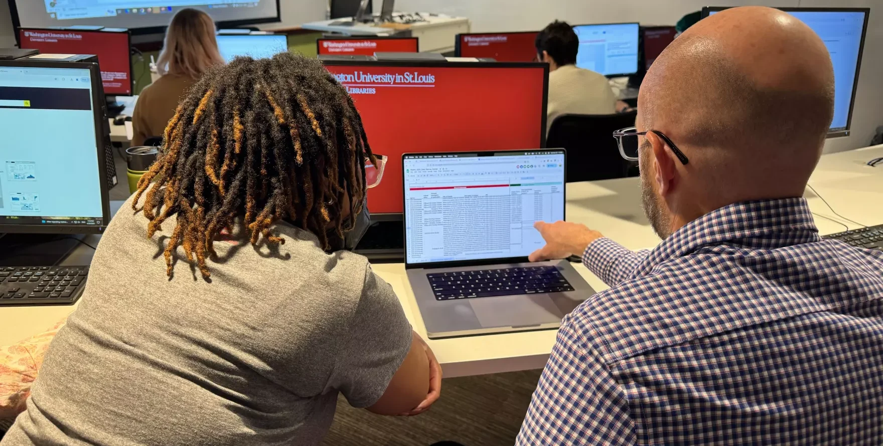
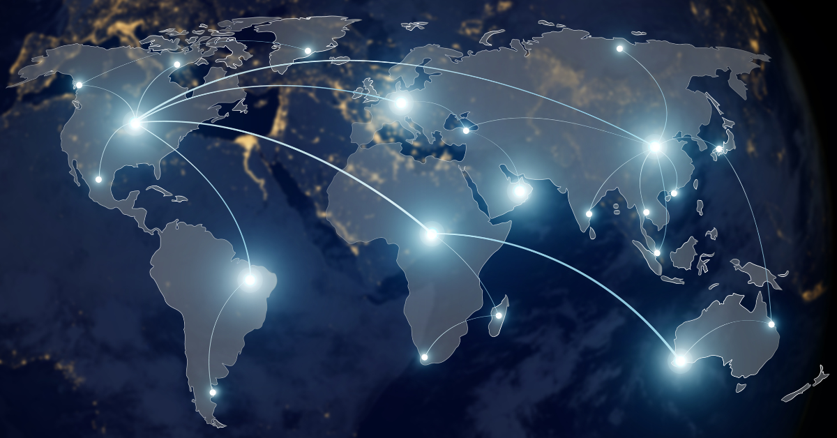
Help us preserve at-risk federal data and websites during this impactful hackathon. As part of Geography Awareness Week, we will...

L2 Voter Data is a regularly updated database of all registered voters in the United States. L2 Voter Data provides detailed...

Join us for an engaging presentation and panel discussion that shines a spotlight on the unsung heroes keeping our cities...

The WashU Geospatial Research Initiative (GRI) is proud to celebrate the work of the recipients of its seed grants. The...

Join us to learn about the principles of text mining using the HathiTrust Research Center’s computational text analysis tools. Topics include...

Step into the world of data with this beginner-friendly SQL workshop. We’ll start with the basics — writing queries to...
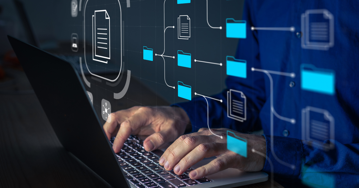
Join us to explore best practices for documenting data, from capturing general information and rights to detailing files, variables, and...
Learn how to use Tableau to create tables, graphs, charts, and thematic maps. This workshop is intended for people with...

Do you want to share your scholarship with the wider public but aren’t sure how? Have you developed course materials...

WashU Libraries are committed to making our spaces, collections, services, and events accessible.