Parts Unknown: The Charlie Shaeffer Map Collection
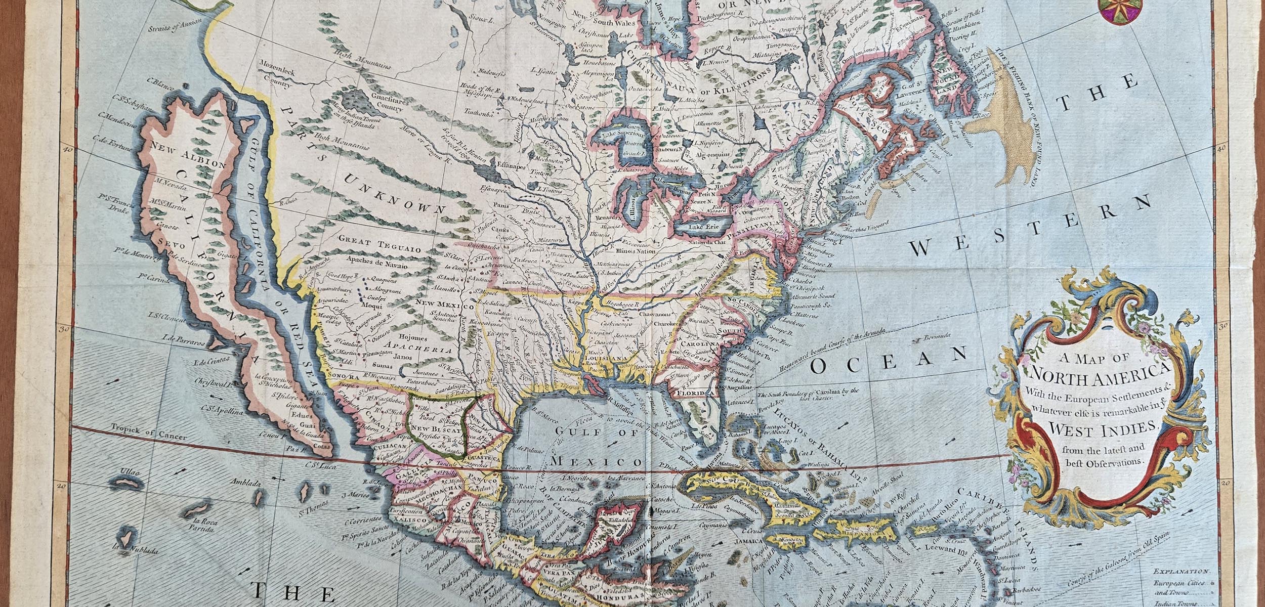
All maps tell stories, but only some of the stories are true. The maps in the Charlie Shaeffer Map Collection tell the story of the Island of California, a myth which persisted for over a century and is considered one of the biggest blunders in the history of cartography.
This exhibition is organized by practicum student Diana Bell as part of her Masters of Library and Information Science program at the University of Missouri-Columbia with an emphasis in Archival Studies.
Header Image Credit: Seale, Richard W. A Map of NORTH AMERICA. 1745.